
U.S.
Source: American Community Survey, Census Bureau. Map shows percentage of people who reported their race as Hispanic or Latino and Not Hispanic in the following categories: white, African American, Asian, Native American, Native Hawaiian or Pacific Islander, or two or more races.
The map above shows St. Louis-area majority racial groups by census tract according to 5-year estimates from the 2012 American Community Survey. Most of the census tracts in the area have either an African-American majority or a white majority. Click on a tract for more detailed information.
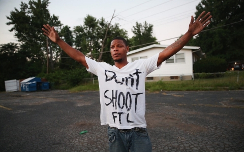
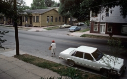
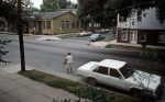
The police shooting death of unarmed black 18-year-old Michael Brown in the Ferguson suburb of St. Louis hints at racial tensions that have existed for decades in the former railroad town, a middle-class suburb of sprawling parks and tidy brick homes that was mostly white for many years – until school busing and urban decay sent many families packing for more distant communities.
Over the past few decades, as St. Louis city schools deteriorated, a voluntary busing program that started in the 1980s allowed parents to send their children to suburban districts. Some black families decided to leave the city – and the crime – behind, and moved to nearby suburbs such as Ferguson.
As more black residents moved in, whites in Ferguson began to move to outer suburbs. The majority of law enforcement and local government officials are still white in Ferguson.
Al Jazeera and The Associated Press

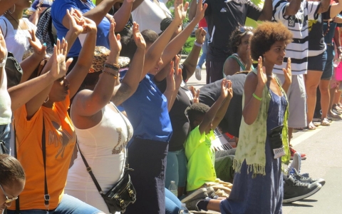
Meanwhile in Ferguson, Missouri, community leaders aim to strengthen black political consciousness

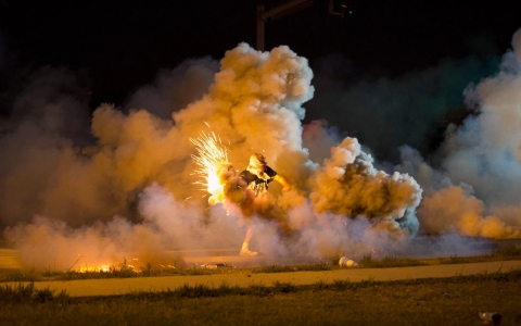
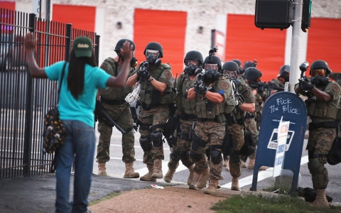
Police say man pulled gun on officer amid continuing protests, some violent, over Michael Brown's death

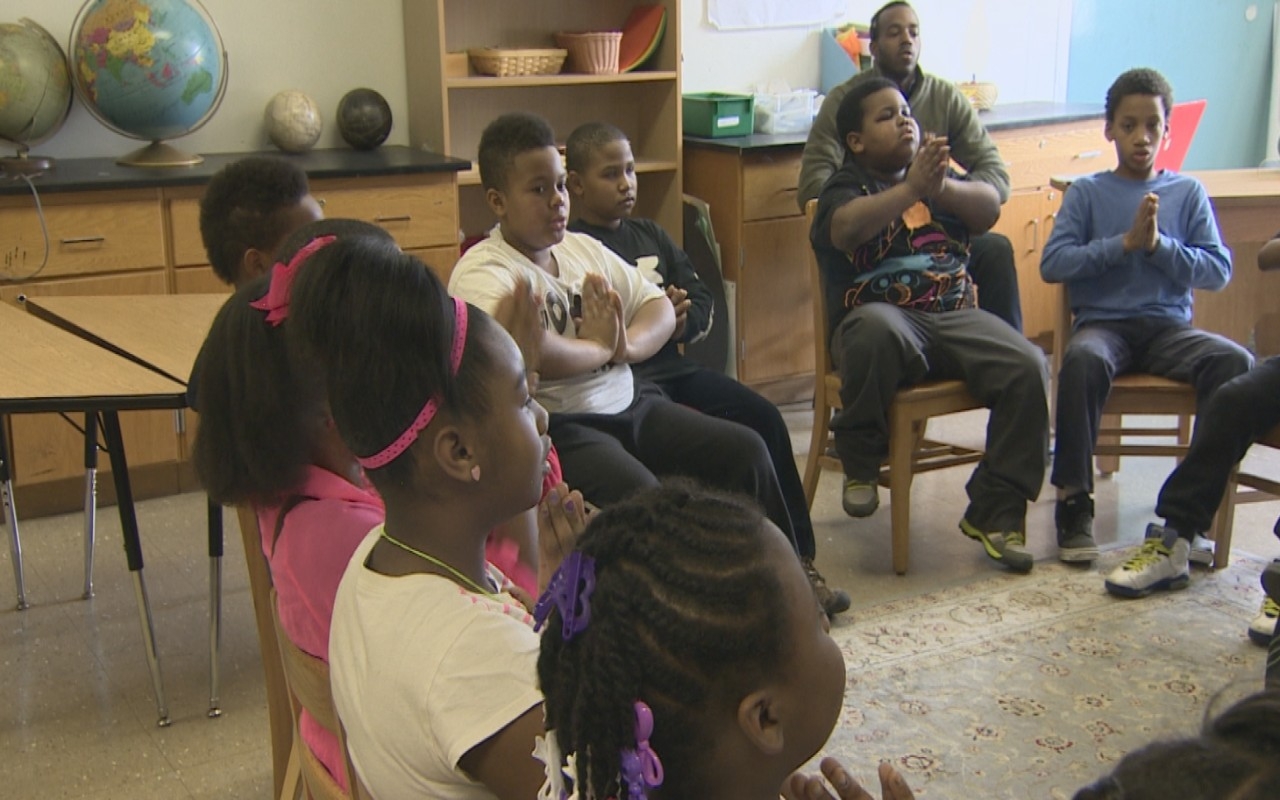
What is it like to raise a child in Ferguson, Mo., where police shot and killed an unarmed black teen?

Recent fatal cases raise question of whether police protocol was breached


Error
Sorry, your comment was not saved due to a technical problem. Please try again later or using a different browser.