Satellite photos reveal hidden artifacts
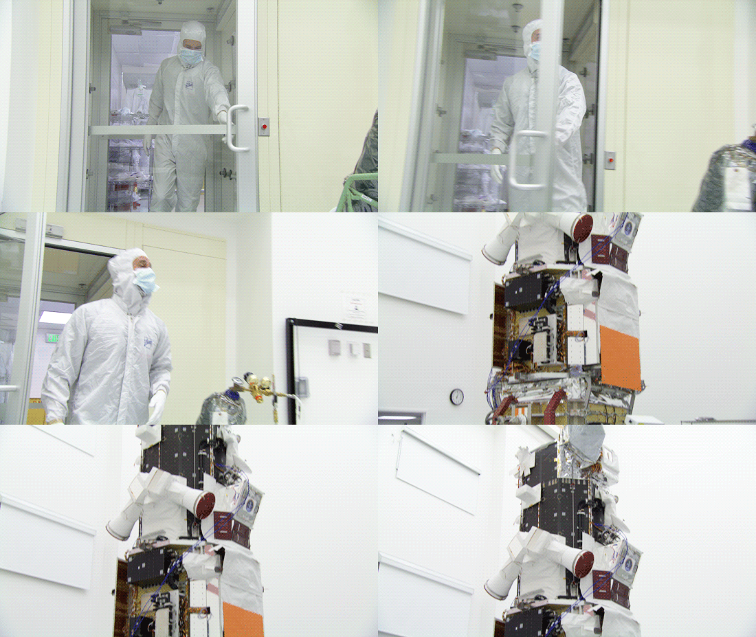
The engineers at DigitalGlobe have created satellites that can peer down onto Earth and photograph into the invisible wavelengths of light with incredible resolution. They take the pictures — and the rest of the world gets creative.
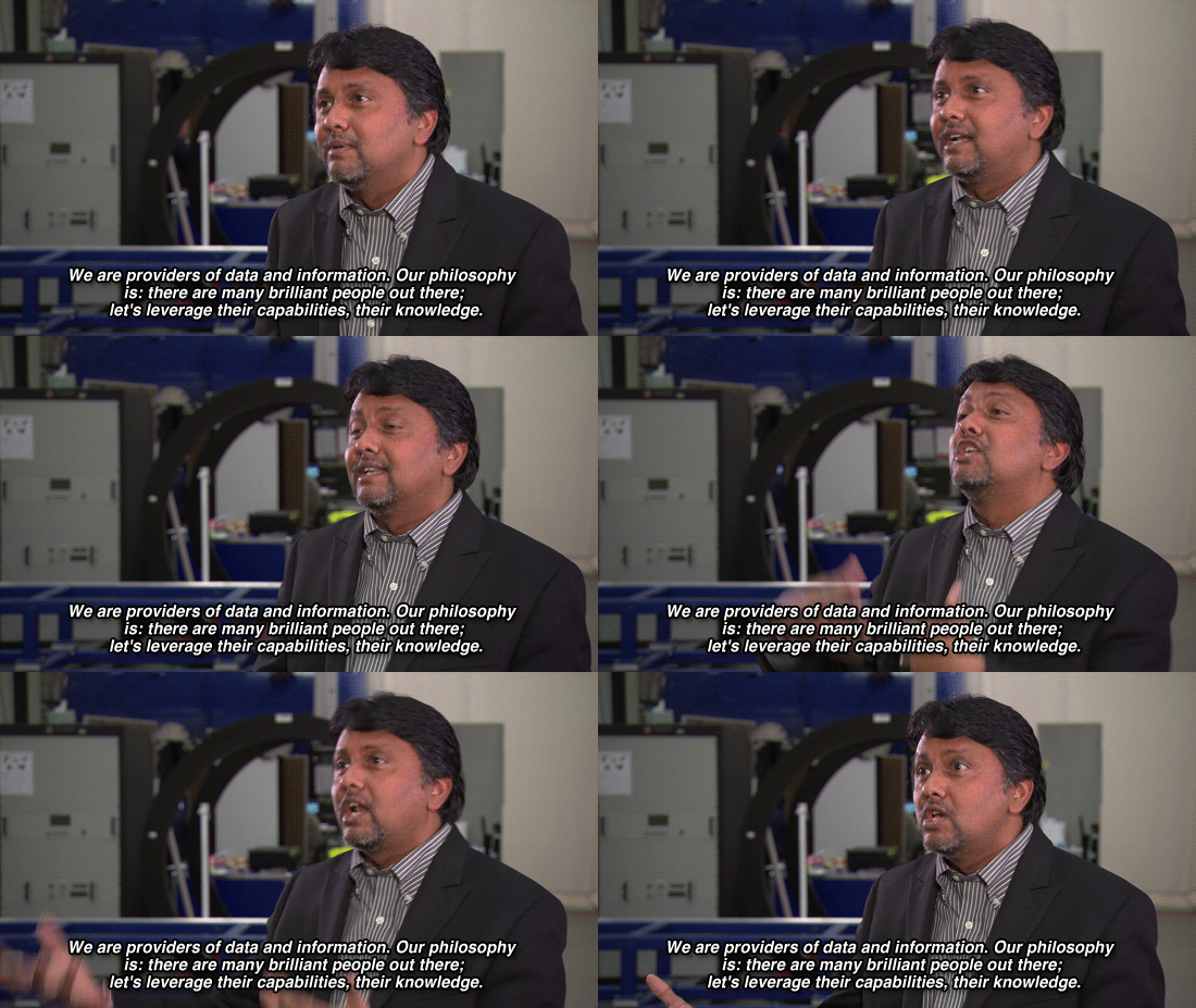
Kumar Navulur, the company’s director of research and development, lights up when asked about how their images are being used. “Our philosophy is, there are so many brilliant people out there,” Navulur says. “Let's leverage their capabilities, their knowledge.”

For “TechKnow,” we talked with Dr. Sarah Parcak, who uses DigitalGlobe’s infrared images to uncover ruins in Egypt, map ancient civilizations and monitor looting.
Our time with Parcak showed how a creative mind can take a scientific field typically associated with digging in the dirt and send it into the space age. Looting of archaeological sites is a multibillion-dollar industry, and Parcak is able to monitor the activity that makes her sites look “like swiss cheese” — holes systematically dug into the ground, revealing where artifacts have been removed, then sold on the black market.

But the ingenuity of the use of these images doesn’t stop there. Representatives for DigitalGlobe showed us where else it is already being utilized:
Humanitarian crises: From refugee camps in South Sudan to child labor camps in Southeast Asia, the eye in the sky can monitor this activity and report to appropriate government agencies.
Prospecting: Underground mineral, oil and gas deposits can all be detected with DigitalGlobe’s satellite, limiting the amount of more invasive prospecting techniques required on the ground.
Natural disasters: The satellite provided images of the Philippines’ typhoon damage to aid agencies to help coordinate relief efforts.
Ecology and the environment: The images can detect forest logging activity, as well as help measure the impact of global climate change.
So what’s next?
The next best use of these satellite images is likely to be just as unexpected — one that some bright researchers put their minds to. With the upcoming launch of the WorldView 3 satellite, the capabilities of their remote sensing satellite constellations will only get better.
What would you do with access to their satellite images?
See more from Phil on Sunday's "TechKnow," 7:30ET/4:30PT.
Error
Sorry, your comment was not saved due to a technical problem. Please try again later or using a different browser.